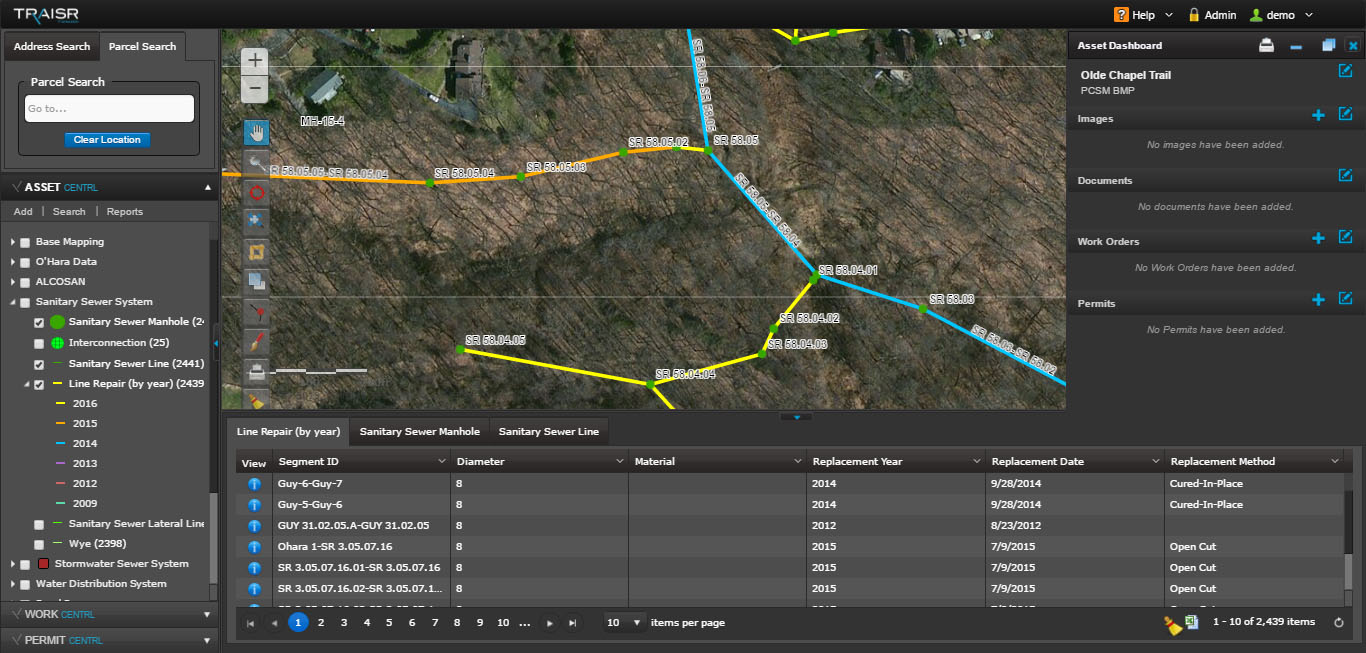
LSSE assists in preparing mapping utilizing both aerial photography, LIDAR and field surveying utilizing GIS to meet our project and client needs.
MARKETS:
- Municipal
- Institutional
- Utilities and Energy
SERVICES:
- Geographic Information Services
LSSE assists in preparing mapping utilizing both aerial photography, LIDAR and field surveying utilizing GIS to meet our project and client needs.

< - Go Back