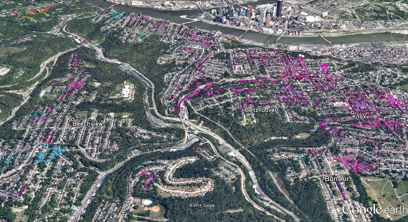
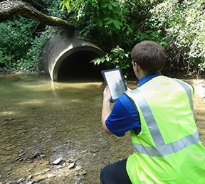
LSSE provides planning, design, and construction phase services for stormwater collection and conveyance infrastructure attendant with main–street municipal, residential, commercial, and greenfield site development projects. Experience includes flood damage assessment and remediation design; hydrologic/hydraulic modeling and flood mitigation studies; flood control dam dredging and stream restoration projects; flood protection levee and pumping; and, localized flood mitigation projects. LSSE designs began to incorporate green stormwater infrastructure, before GSI was mandated in regional urban site redevelopment projects, and LSSE designed some of the first development projects that incorporated a full range of stormwater Best Management Practices (BMP), including porous pavement, rain gardens, bio-retention facilities, grassed swales, fens, etc. LSSE stormwater experts have developed and applied widely accepted regulatory (Municipal Separate Storm Sewer – MS4) compliance protocols. These include state of the art GIS mapping and database management programs, which are instrumented via fixed–base computer infrastructure and portable devices. LSSE Principals and stormwater experts have teamed with regulatory representatives and regional Conservation Districts in the delivery of MS4 education/training presentations throughout western Pennsylvania.
Facilities Planning, Design, Construction Phase, and Surveying Services:
- Stormwater Collection and Conveyance
- Retention, Equalization (CSO) facilities
- Pumping
- Erosion and Sedimentation Protection
- Stream Restoration
- Streambank Protection
- Wetland Mitigation
- BMPs
- Grassed swales
- Fens
- Bio-Retention Ponds
- Rain Gardens
- Green Stormwater Infrastructure
- Porous Pavement
- Infiltration Drains
- Specialized Studies/Investigations
Post Construction Stormwater Management Plans
- Hydraulic and Hydrologic Modeling
- Stormwater Utility Studies
- Permitting (NPDES, Chapter 104/105 and General Permits)
- Flood Damage Assessment
- PEMA/FEMA Compliance Documentation
- Letter of Map Revision ( LOMR)
- GIS-Driven MS4 Management Programs
- Wetland and Stream Delineations


