Neville Township Water Distribution System
Neville Township Water Distribution System
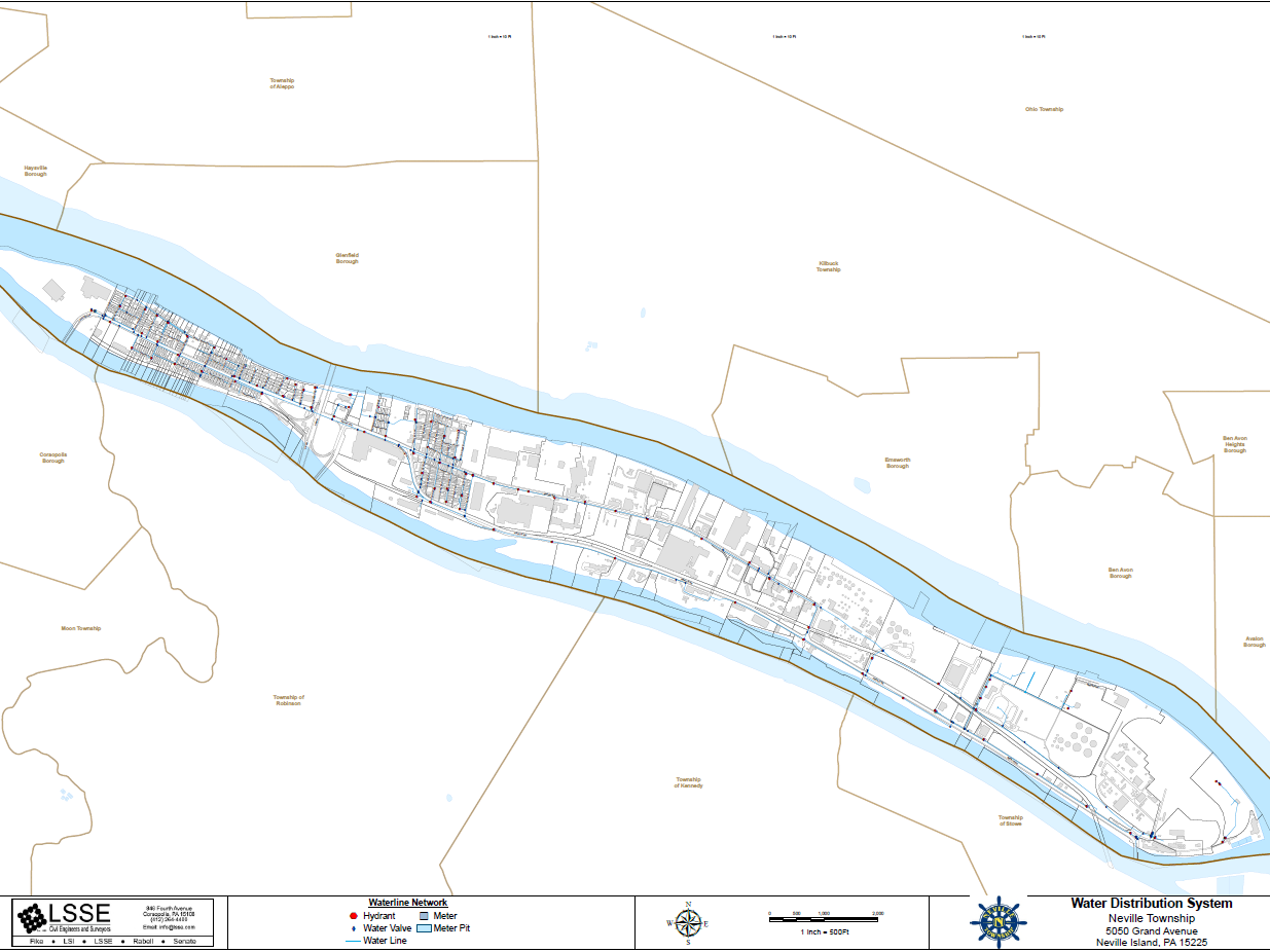
LSSE developed a GIS-based water distribution system map for Neville Township inventorying the waterline network across Neville Island, including water lines, hydrants, valves, meters, and meter pits. The map supports infrastructure asset management and operations and maintenance planning for the Township’s potable water system.
MARKETS:
- Municipal
SERVICES:
- Geographic Information Services (GIS)
Project Photo