Ambridge Water Authority Partial Hydraulic Model Flow Test Map
Ambridge Water Authority Partial Hydraulic Model Flow Test Map
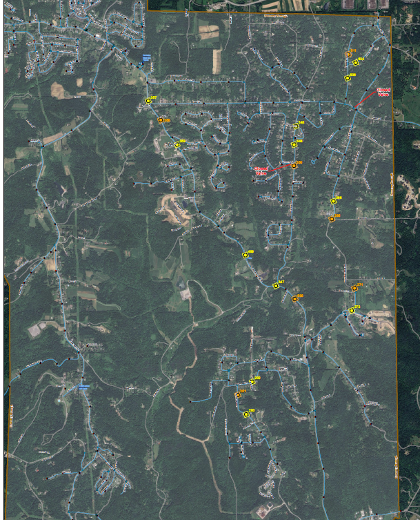
LSSE prepared a GIS mapping exhibit for the Ambridge Water Authority documenting a partial hydraulic model flow test, identifying pressure hydrant and flow hydrant test locations throughout the service area with recorded static pressure and residual pressure/flow rate data. The map supports hydraulic characterization and water system planning for the Authority’s distribution network.
MARKETS:
- Municipal
SERVICES:
- Geographic Information Services (GIS)
Project Photo